How does the Denver grid system work?
It's a bit complicated because there are actually multiple grids. Most of the city follows the north–south / east–west grid along Broadway, but the Downtown grid is on an angle facing the Platte River.
View Larger MapThe Main, Broadway-Oriented (NS/EW) Grid:
- The grid begins at the intersection of
Broadway
and Ellsworth Avenue.
- Avenues on the west side of Broadway are prefixed with “West”; when they cross to the east side of Broadway, they are prefixed with “East”, but older street signs will often leave off the prefix on the east side.
- Streets on the south side of Ellsworth Avenue are prefixed with “South“; when they cross to the north side of Ellsworth, they are prefixed with “North“, but older street signs will often leave off the prefix on the north side.
- Avenues are numbered north of Ellsworth, beginning with 1st Avenue and ending somewhere around 176th Avenue
-
Avenues run east–west.
- Examples include: 6th Avenue, Alameda Avenue, Evans Avenue, Mexico Avenue
-
Streets run north–south.
- Examples include: Lincoln Street, York Street, Logan Street, Quebec Street
-
Places are “half-blocks” that run east–west between avenues.
Examples include:
- Examples include: Archer Place, Irvington Place, Clyde Place, 8th Place (between 8th Avenue and 9th Avenue)
-
Courts are “half-blocks” that run north-south, between
streets. These are much more common in the suburbs than in Denver proper.
- Examples include: Laredo Court, Telluride Court, Biscay Court, Oak Hill Court
-
Boulevards and Roads are arterial roads, with boulevards typically
running north–south and roads running east–west.
Examples include:
- Examples include: Speer Boulevard, Colorado Boulevard, Arapahoe Road, Morrison Road
-
Drives are twisting roads, generally (but not always) running east–west, running
into an Avenue.
Examples include:
- Examples include: Panama Drive, Maplewood Drive, Bethany Drive, Tamarac Drive (but this one is north–south)
-
Ways are north–south “half-blocks” that run into a street. They
usually connect a street to another street, not an avenue. Examples include:
- Examples include: Syracuse Way, Dayton Way, Lisbon Way, Golden Way
The Downtown, River-Oriented Grid:
I will write this up soon, but it's less interesting to me than the Broadway grid.
Denver Streets, the Book
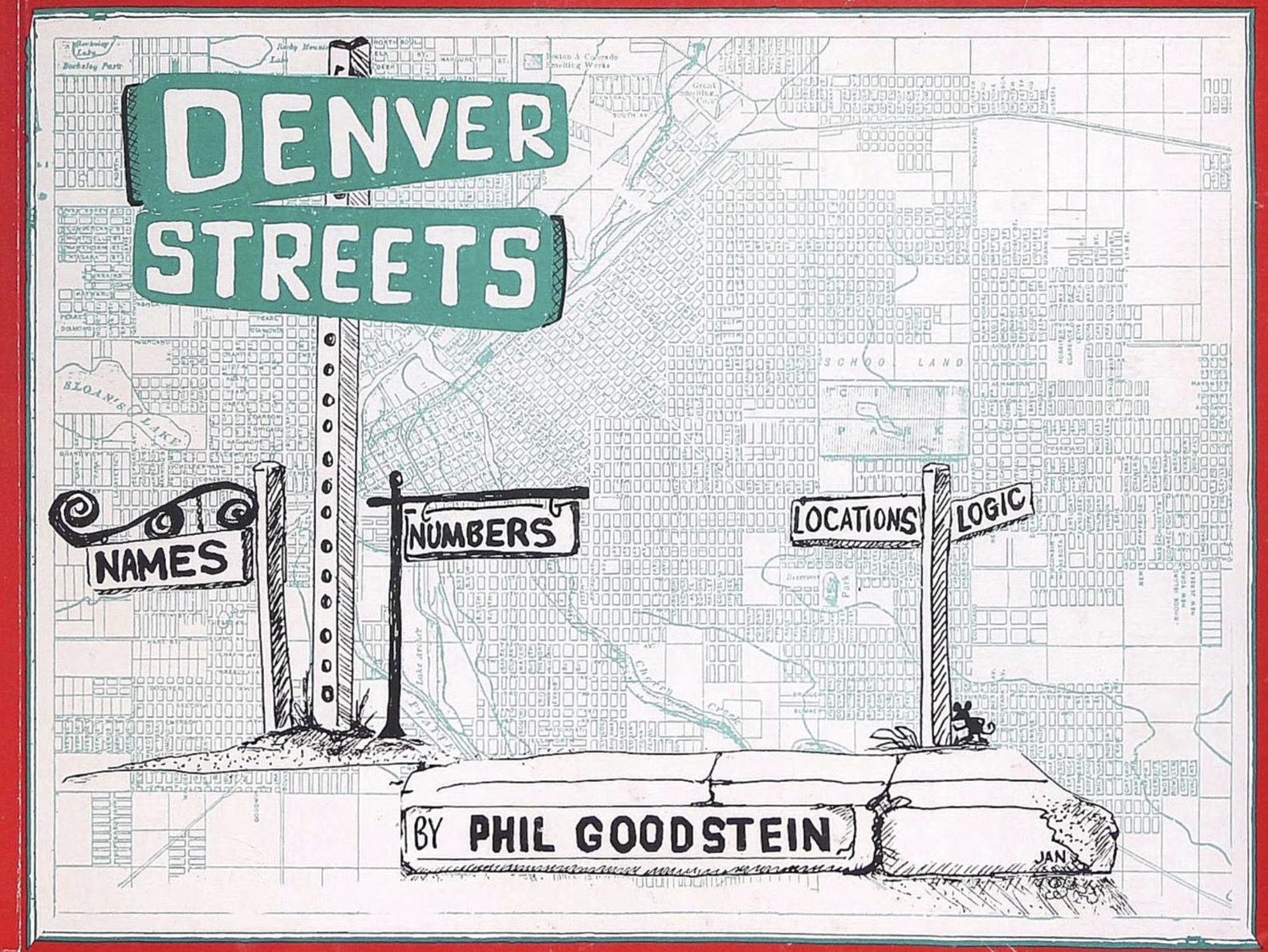
The information on this website comes from the 1994 book Denver Streets: Names, Numbers, Locations, Logic by Phil Goodstein. Since it is out of print and very expensive if you can find it anywhere, I've spent my own time and money buying the book, getting it scanned, and building/hosting this website.